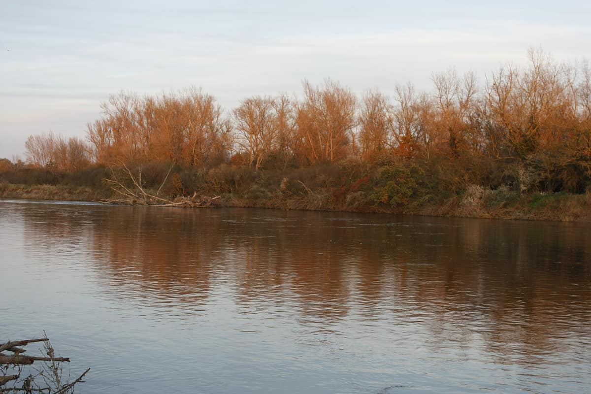
Val d’Allier Nature Reserve
Val d'Allier - Allier Sauvage
Auvergne-Rhône-Alpes (Allier / Moulins) · France
Photo: Amaya13 · CC BY-SA 4.0 · Wikimedia Commons
One of Western Europe’s last truly wild, free-flowing lowland rivers without artificial embankments.
Most lowland rivers across Western Europe have been channelled for centuries. The Allier, however, has largely escaped that fate. For some twenty kilometres south of Moulins, this reserve flanks both banks of one of the few rivers almost entirely free in its movements: eroding, carving new channels, abandoning old ones, and depositing sediments. The Val d'Allier National Nature Reserve spans 1.450 hectares and was created in 1994 so the river may keep doing just that.
What makes it unique
A river that shifts course whenever it pleases, endlessly reshaping gravel bars, oxbows, wet meadows, and riparian woods where over a hundred bird species nest.
The place
Nature
The landscape
The Allier rises at Moure de la Gardille in the Margeride, measures 420,7 km, and empties into the Loire at the Bec d'Allier. What makes it exceptional is its gradient: across the plains it is five times steeper than the Loire, sharply intensifying bank erosion.
The dynamic follows a constant rhythm. In the alluvial plain beginning at Vieille-Brioude, the river meanders by scouring its outer bank; the loop eventually cuts through, leaving an oxbow behind. This ongoing process creates a complex mosaic of habitats: gravel and sand banks, eroding cliffs, oxbow cut-offs, wet meadows, heathlands, and riparian woodlands. The mosaic aligns along the channel, functioning as a vital ecological corridor. Upon this dynamic movement rests the protection of natural habitats and local drinking water aquifers.
The flora reflects this richness: more than 600 plant species, some washed down by floods from Auvergne or the Cévennes, and nearly 200 species of fungi.
Wildlife and seasons
Birdlife tied to dynamic river beds gathers across the gravel islands. There are more than 100 breeding bird species, including the Eurasian stone-curlew, the little tern and common tern, little ringed plover, white stork, black kite, sand martin, and golden oriole; the common kingfisher and European bee-eater round out the community. Out of 277 recorded species, 112 nest within the reserve. The osprey stands out among those of high conservation priority.
In the water and along the banks live 45 mammal species, 9 of them bats, alongside Eurasian beaver, Eurasian otter, and European wildcat. You can spot coypu and beavers along the river. The fish fauna ranks among the most diverse in France, counting some forty species including Atlantic salmon, allis shad, and sea lamprey, supplemented by 49 dragonfly species and over 1000 beetle species.
The Allier salmon undertakes the longest migration in Western Europe, though numerous dams on the Loire brought it to near extinction; salmon fishing has been banned on the river since 1994.
Species
With a page in the atlas
Being mentioned in a source doesn't guarantee sightings: check with the people who manage the area.
Memory and protection
History and conservation
The conservation alarm arose from the commercial exploitation of the river itself: massive gravel quarrying from the riverbed and planned water engineering schemes on the Allier spurred an environmental awakening that led, from 1990 onwards, to the creation of the reserve. LPO Auvergne-Rhône-Alpes and the National Forests Office have co-managed the site since 1994, aiming to safeguard ecological diversity, habitat naturalness, and landscape cohesion.
The scars of that past exploitation endure: excessive alluvial dredging and artificial riprap sunk the riverbed and severed floodplain wetlands from the water table, causing them to dry out; local conservation trusts now purchase plots threatened by erosion. Today the reserve also remediates past abuses: at Les Perrons, an old landfill once scoured by floodwaters is being systematically dismantled.
Before you set off
Visiting
How to visit
Eight entry points allow you to explore the reserve on foot or by canoe. These include Le Verdelet (Toulon-sur-Allier), Les Perrons (Chemilly), Les Rigaudets (Bessay-sur-Allier), Pont-de-Châtel (Châtel-de-Neuvre), L'Épine (Monétay-sur-Allier), Les Échérolles (La Ferté-Hauterive), Saint-Loup island, and Le Méplan (Contigny). L'Épine is visitable using the Handivisites app. Walking is permitted throughout the reserve except on certain islands protected by biotope orders, and the LPO promotes canoeing as an ideal way to discover the valley.
The LPO runs a summer activity programme featuring nature outings and guided walks led by environmental educators from 15 July to 13 August. The Espace Nature du Val d'Allier in Moulins has been permanently closed to the public since 14 December 2023.
Before you go
At Les Perrons (Chemilly), trail access may be closed temporarily during landfill rehabilitation works. Paths are not adapted for visitors with reduced mobility or pushchairs, and seasonal floods can cause temporary closures of low-lying entry points.
Check access, rules and visiting conditions in the official information from the managing body before you set off.
Location
Where it is and how far it reaches
Boundary of Val D\'Allier · IUCN IV · © EEA, CDDA (CC-BY) The coordinate is estimated; it isn't a verified access point.
Transparency
Sources
The research data with its sources, and the official links for this place, are in the Spanish version of this page. See the Spanish version
Around it
Further downstream, the Loire Sauvage & Loire Alluvial Islands share with the Allier the beaver, the little tern, and the same vibrant realm of braided rivers and riparian wetlands. The Mondragó Natural Park also shares the Eurasian stone-curlew.
If you like this place, elsewhere in Europe
Distant places with uncommon wildlife and habitats in common. The most widespread species don't count. Sharing species doesn't imply a corridor or guaranteed presence.
- Wild Loire and Alluvial Loire Islands
Burgundy-Franche-Comté / Centre-Val de Loire (Nevers / Cosne)
In common: Little tern · Eurasian beaver — river corridor, wetland
The longest and wildest lowland river in France, featuring dynamic sandbars and islands of spontaneous riparian vegetation.
JFMAMJJASONDMay – September · Crowding low
Entry #189 of the original atlas.