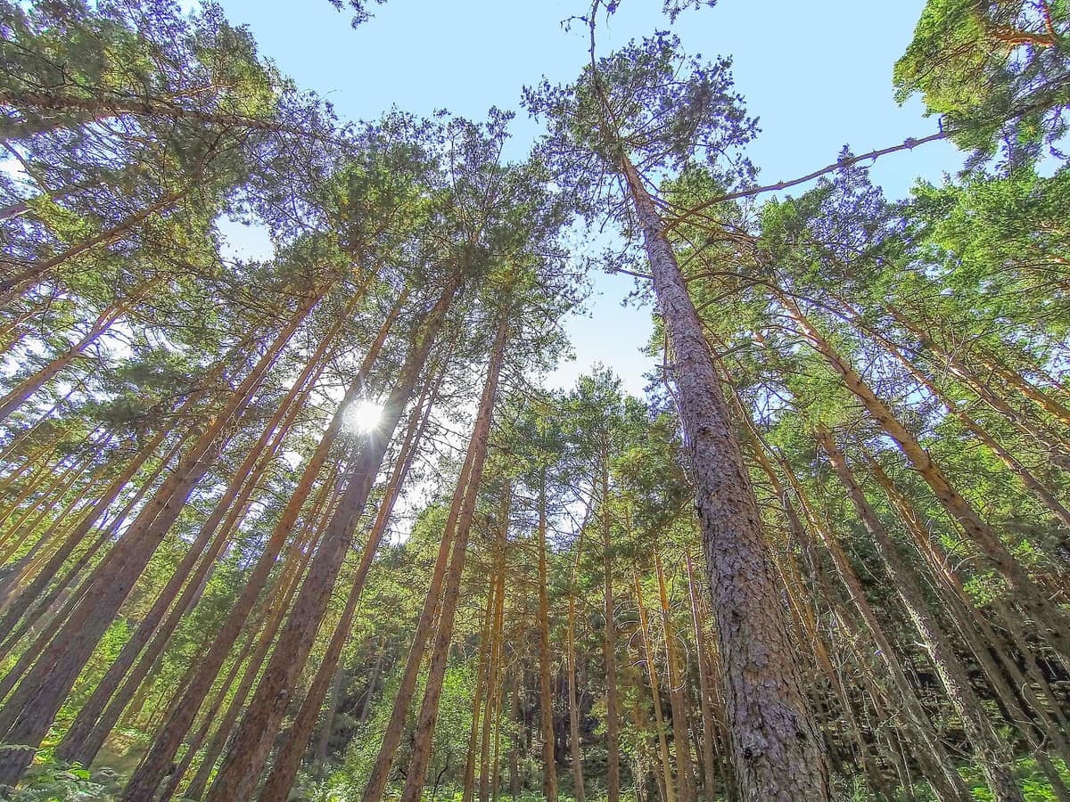
Sierra de Guadarrama National Park and Montes de Valsaín
Parque Nacional de la Sierra de Guadarrama & Montes de Valsaín
Community of Madrid / Castilla y León (Segovia / Cercedilla / Manzanares el Real / Valsaín) · Spain
Photo: Alejandro Vallejo Ortega · CC BY-SA 4.0 · Wikimedia Commons
The granitic high mountain crowning the Central System (Peñalara 2,428 m), La Pedriza, and the historic Pine Forest of Valsaín.
In the Sierra de Guadarrama, snow is serious business. At the Puerto de Navacerrada, at 1894 m, 1223 mm of precipitation fall annually, there are an average of 71 snowfall days, and the average January temperature drops to -0.4 °C. The Sierra de Guadarrama National Park protects this cold realm between Madrid and Castilla y León: glacial tarns, Scots pine woodlands, jagged granite crags, and wildlife that includes the returning wolf and the Pyrenean desman, once feared lost. It was established by Law 7/2013, of 25 June, covering 33 960 hectares divided between Madrid and Castilla y León.
What makes it unique
A Mediterranean mountain range bearing glacial relics and a monumental granite batholith, La Pedriza, which forms an open-air museum sculpted by natural erosion.
The place
Nature
The landscape
It all began roughly 500 million years ago with the oldest rock in the range: gneiss. Later, during the Hercynian orogeny, granite formed. Much later, the Alpine orogeny thrust up the Central System in tilted fault-blocks, uplifted and dropped as the African and Iberian plates collided. That is the sierra.
Then came the ice. In the Peñalara massif, the glacier filled the torrent headwaters from Dos Hermanas, terminating at 1,870 m after travelling 2.5 km; as it retreated it carved cirques, moraines, and high-mountain tarns. Laguna Grande de Peñalara sits at 2,019 m within its namesake cirque, reaching barely 4.7 m in depth. The wetlands of the massif are a Ramsar site, and the main tarn suffered degradation from excessive tourism that required ecological restoration: that is why visits today are regulated.
On the southern slope lies La Pedriza, a granitic batholith of some 3,200 hectares born during the Carboniferous. Weathering has sculpted it into pans, potholes, taffoni, domes, ridges, and boulder piles, and its crags bear popular names: El Yelmo, El Pájaro, La Foca, El Camello, El Elefantito, Canto Cochino.
Vegetation ascends through altitudinal belts. Scots pine forests are the most extensive and characteristic woods, with stands reaching above 2,100 m. Above them stretch mountain scrub of broom and creeping juniper; near the summits lie grasslands of Festuca curvifolia. Relict groves of birch and yew also persist; the yew at Arroyo Barondillo is a monumental specimen over 1,500 years old.
Wildlife and seasons
There are 135 bird species regularly recorded. Among montane species are the white-throated dipper, bluethroat, and citril finch; among raptors, the cinereous vulture, Spanish imperial eagle, golden eagle, red kite, and peregrine falcon. Since monitoring began, 1586 cinereous vultures have been marked with readable rings.
Among the 61 mammals, 6 are Iberian endemics, such as the Iberian hare, Iberian mole, and Pyrenean desman, which was thought extinct in the range and maintains a small relict population on the Segovian slope. The grey wolf has returned after vanishing over a century ago and is expanding. The rugged terrain sustains large mammals including the roe deer, European wildcat, Eurasian otter, and badger, while the Spanish ibex was reintroduced. Bats number 23 species. One key threat: the American mink, escaped from fur farms, preys upon both desman and amphibians.
The main visiting season runs from May to October; in winter, snow and ice complicate high-elevation routes.
Species
With a page in the atlas
Being mentioned in a source doesn't guarantee sightings: check with the people who manage the area.
Memory and protection
History and conservation
The wetlands of the Peñalara massif are a Ramsar wetland of international importance. The national park established in 2013 brings together contiguous protected lands in Madrid and Castilla y León.
Before you set off
Visiting
How to visit
There are five visitor centres: Peñalara, Valle de La Fuenfría, Valle de El Paular, Valsaín–Boca del Asno, and La Pedriza, plus the information kiosk at Canto Cochino.
Trails range from gentle to demanding. The blue walk of Valsaín crosses the Eresma over the Navalcarreta bridge, while the Valsaín forest walk features interpretive stops on botany, the Peñalara brook, and historical forestry. The Zona del Zabala, running from the Peñalara Visitor Centre to the refuge overlooking Laguna Grande, covers 4.7 km with 279 m of elevation gain, suitable for beginner hikers. The Calzada Romana spans 5.5 km taking about 2 h 50 min, climbing from the Valle de La Fuenfría centre to the pass along an ancient road connecting Titulcia and Segovia. The slopes of La Mujer Muerta cover 9.2 km and 2 h 35 min. From Canto Cochino to El Tolmo is 5.8 km round trip for experienced walkers, passing notable geological points. The crossing of the Schmid trail, Fuenfría pass, and Collado Ventoso spans 12 km and takes roughly four hours.
Choose routes suited to your fitness and check conditions.
Before you go
Private vehicle access to La Pedriza is regulated due to heavy visitation, and the Peñalara massif imposes daily quotas and specific group rules. The Zabala area can become hazardous under snow or ice; inquire first at the visitor centre. Check trail conditions and weather advisories before setting out.
Check access, rules and visiting conditions in the official information from the managing body before you set off.
Location
Where it is and how far it reaches
Boundary of Sierra de Guadarrama · IUCN II · © EEA, CDDA (CC-BY) The coordinate is estimated; it isn't a verified access point.
Transparency
Sources
The research data with its sources, and the official links for this place, are in the Spanish version of this page. See the Spanish version
Around it
Around twenty-seven kilometres away lies Parque Natural Hoces del Río Duratón. Further afield, Parque Nacional de Cabañeros and Parque Natural de Sierra Madrona y Valle de Alcudia share with Guadarrama the Spanish imperial eagle and cinereous vulture.
What else to explore nearby
Approximate straight-line distance between the edges of each area. It doesn't indicate access, routes or driving times.
- Hoces del Río Duratón Natural Park
Castile and León (Segovia / Sepúlveda / Sebastopol / San Frutos)
About 27 km away
Incised meanders 100 m deep carved into red limestone by the Duratón River, featuring the renowned cliffside hermitage of San Frutos.
JFMAMJJASONDApril – June · September – October · Crowding moderate
If you like this place, elsewhere in Europe
Distant places with uncommon wildlife and habitats in common. The most widespread species don't count. Sharing species doesn't imply a corridor or guaranteed presence.
- Valle de Alcudia and Sierra Madrona Natural Park
Castilla-La Mancha (Ciudad Real / Fuencaliente / Mestanza / Almodóvar del Campo)
In common: Spanish imperial eagle · Cinereous vulture · Grey wolf — old-growth forest
The largest protected space in Castilla-La Mancha (150,000 ha), featuring vast historic transhumance wood-pastures and intact oak forests.
JFMAMJJASONDOctober – May · Crowding very low
- Mount Olympus National Park
Pieria / Larissa (Litochoro)
In common: Taxus baccata · Grey wolf — high mountain, old-growth forest
Greece's inaugural national park (1938): the country's highest peak, incised by the Enipeas Gorge and renowned for endemic flora.
JFMAMJJASONDJune – October · Crowding moderate
- Gerês-Xurés Transboundary Biosphere Reserve
Northern Portugal (Viana do Castelo / Braga / Vila Real) (PT) / Galicia (Ourense / Lobios) (ES)
In common: Spanish ibex · Grey wolf — high mountain, old-growth forest
Portugal's sole National Park joined with Galicia's Serra do Xurés Natural Park, forming a transboundary reserve of granite monoliths and herds of free-roaming Garrano horses.
JFMAMJJASONDMay – October · Crowding low
Entry #483 of the original atlas.