Grasslands, salt flats and open plains.
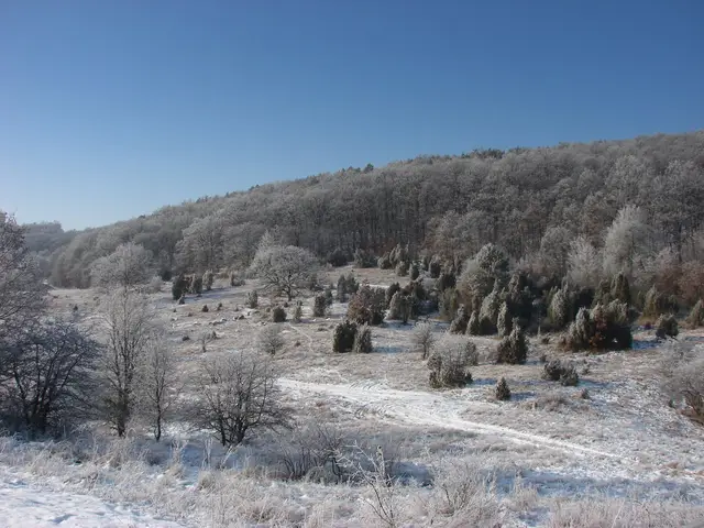
Photo: Kalyob · CC BY-SA 3.0 · Wikimedia Commons
Borsod-Abaúj-Zemplén (Aggtelek / Jósvafő)
★★★★★crowding: Low
Northern Hungary's karst plateau and cave systems, shared with Slovakia, including the Baradla-Domica network.
Karst and cavesOld-growth forestSteppe and grassland
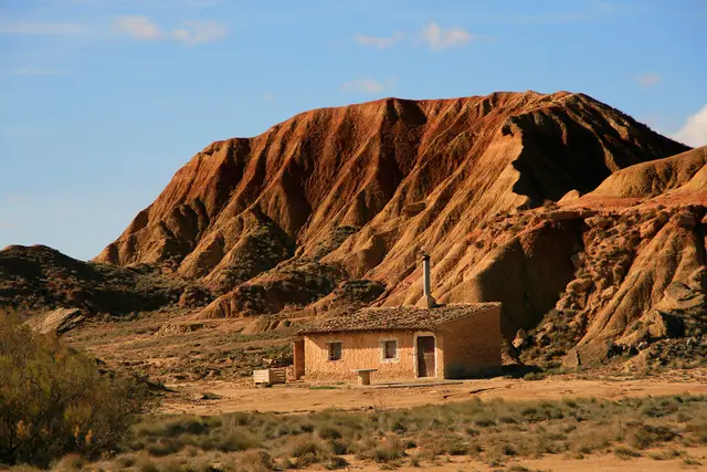
Photo: Miguel Ángel García. from Ólvega., España · CC BY 2.0 · Wikimedia Commons
Navarra (Tudela / Arguedas / Valtierra)
★★★★★crowding: Moderate
Desert and badlands landscape of 42,000 ha carved into clays, gypsum, and sandstones, crowned by iconic isolated buttes like Castildetierra.
Steppe and grasslandKarst and cavesGorge and canyon
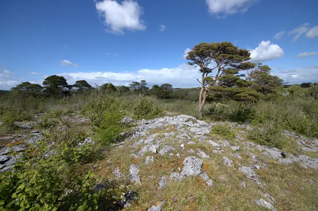
Photo: Limnoporus · CC BY-SA 4.0 · Wikimedia Commons
Clare (Corofin / Mullaghmore)
★★★★★crowding: Low
Limestone pavements where Arctic, alpine, and Mediterranean plants mingle beside ephemeral lakes known as turloughs.
Karst and cavesSteppe and grassland
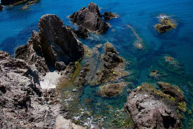
Photo: Edoarrdo · CC BY-SA 4.0 · Wikimedia Commons
Andalusia (Almería / Níjar / Carboneras / San José), [36.75, -2.18]
★★★★★crowding: Moderate
The largest protected marine-terrestrial area of volcanic origin in Mediterranean Europe, featuring lava cliffs, fossil dunes and Posidonia meadows.
Wild coastMarineSteppe and grassland
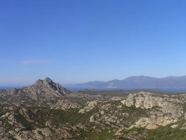
Photo: Gzen92 · CC BY-SA 4.0 · Wikimedia Commons
Corsica (Bastia / Saint-Florent / Centuri)
★★★★★crowding: Low
The largest Marine Natural Park in metropolitan France (6.800 km²), safeguarding the pristine scrubland of the Agriates Desert and the Genoese towers of Cap Corse.
Wild coastMarineSteppe and grassland
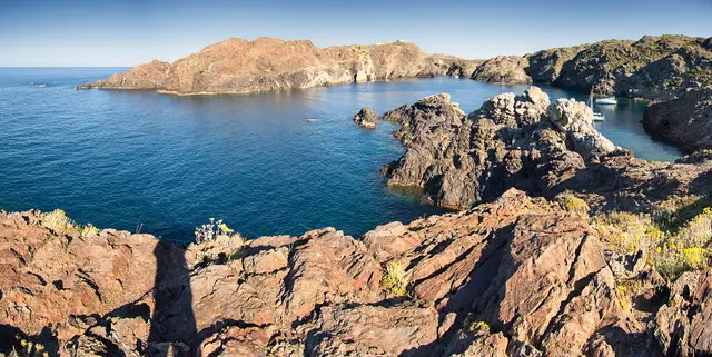
Photo: Mikipons · CC BY-SA 3.0 · Wikimedia Commons
Catalonia (Girona / Cadaqués / El Port de la Selva / Roses)
★★★★★crowding: Moderate
The easternmost point of the Iberian Peninsula, where the Pyrenees plunge into the sea in a labyrinth of metamorphic schists sculpted by the tramontana.
Wild coastMarineSteppe and grassland
Cluj County (Cluj-Napoca)
★★★★★crowding: Very low
Relict steppe grasslands on the outskirts of Cluj-Napoca renowned for fabulous biodiversity of wild orchids and irises.
Steppe and grassland
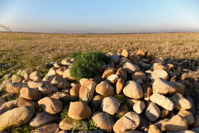
Photo: Gemarin · CC BY-SA 4.0 · Wikimedia Commons
Bouches-du-Rhône (Arles / Saint-Martin-de-Crau)
★★★★★crowding: Very low
The only genuine pebble steppe in Northern and Central Europe (Coussoul), an ancient fossil delta of the Durance river.
Steppe and grassland
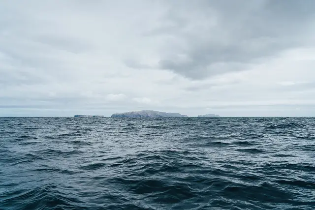
Photo: André Moniz Vieira · CC BY-SA 4.0 · Wikimedia Commons
Autonomous Region of Madeira (Deserta Grande / Bugio / Ilhéu Chão)
★★★★★crowding: None
Uninhabited archipelago of three narrow volcanic islands (Deserta Grande, Bugio, and Chão), a strict sanctuary for the Mediterranean monk seal (Monachus monachus).
Wild coastMarineSteppe and grassland
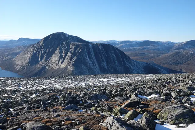
Photo: Frankemann · CC BY-SA 4.0 · Wikimedia Commons
Innlandet / Trøndelag / Møre og Romsdal (Dombås / Oppdal / Sunndalsøra)
★★★★★crowding: Low
The ancestral realm of the muskox (Ovibos moschatus), the only place in continental Europe holding wild herds of this Ice Age giant crowned by Mount Snøhetta (2,286 m).
High mountainGlacial landscapeSteppe and grasslandAlpine meadow
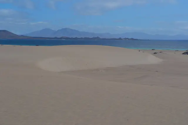
Photo: Iván Hernández Cazorla · CC BY-SA 4.0 · Wikimedia Commons
Canary Islands (Fuerteventura / La Oliva / Corralejo)
★★★★★crowding: Moderate
The largest field of organic fossil sand dunes in the Canary Islands (2,600 ha), contrasting turquoise waters with volcanic desert landscapes.
Wild coastSteppe and grasslandMarine
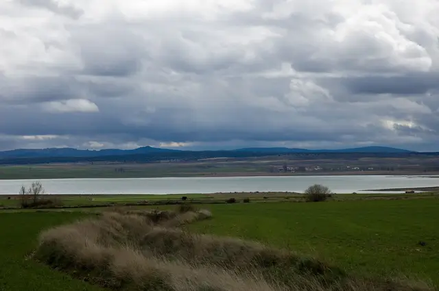
Photo: Jose Manuel Mota · CC BY 2.0 · Wikimedia Commons
Aragon / Castilla-La Mancha (Zaragoza / Teruel — Gallocanta / Bello)
★★★★★crowding: Low
Western Europe's largest saline lagoon and the Iberian Peninsula's foremost stopover for the common crane.
WetlandSteppe and grasslandLake
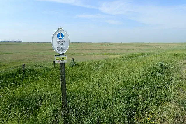
Photo: Krzysztof Ziarnek, Kenraiz · CC BY-SA 4.0 · Wikimedia Commons
Hajdú-Bihar / Jász-Nagykun-Szolnok
★★★★★crowding: Low
Central Europe's largest steppe grassland (80.000 ha) featuring traditional pastoralists and massive crane migrations.
Steppe and grasslandWetland
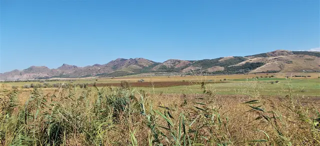
Photo: Nicu Farcaș · CC BY-SA 4.0 · Wikimedia Commons
Tulcea County (Greci / Măcin)
★★★★★crowding: Very low
Europe's oldest mountains (over 300 million years old), with Pontic-Sarmatic steppe, sub-Mediterranean forests, and raptor migration flyways.
Steppe and grasslandHigh mountainOld-growth forest
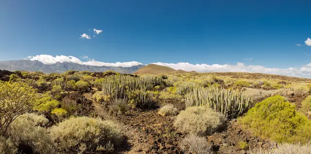
Photo: Yerie2017 · CC BY-SA 4.0 · Wikimedia Commons
Canary Islands (Tenerife / Güímar / Puertito de Güímar)
★★★★★crowding: Very low
Recent volcanic landscape of pahoehoe and aa lavas dominated by the Montaña Grande cone, colonized by endemic spurge communities.
Wild coastSteppe and grassland
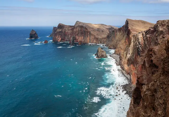
Photo: Diego Delso · CC BY-SA 4.0 · Wikimedia Commons
Autonomous Region of Madeira (Madeira Island / Caniçal / Machico)
★★★★★crowding: Moderate
Narrow, arid volcanic peninsula at the eastern tip of Madeira with red and black tuff cliffs and a haven for the Mediterranean monk seal (Monachus monachus).
Wild coastMarineSteppe and grassland
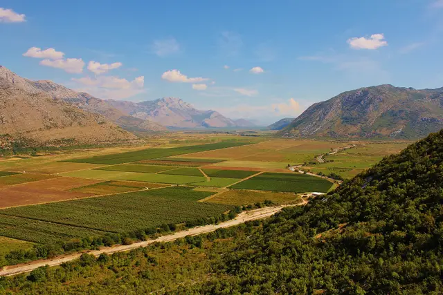
Photo: Igor Trklja · CC BY-SA 3.0 · Wikimedia Commons
Herzegovina (Ravno / Trebinje)
★★★★★crowding: Very low
The cave with the highest subterranean biodiversity in the world (Vjetrenica, UNESCO World Heritage in 2024) and one of the largest floodable poljes in the Balkans.
Karst and cavesSteppe and grasslandWetland
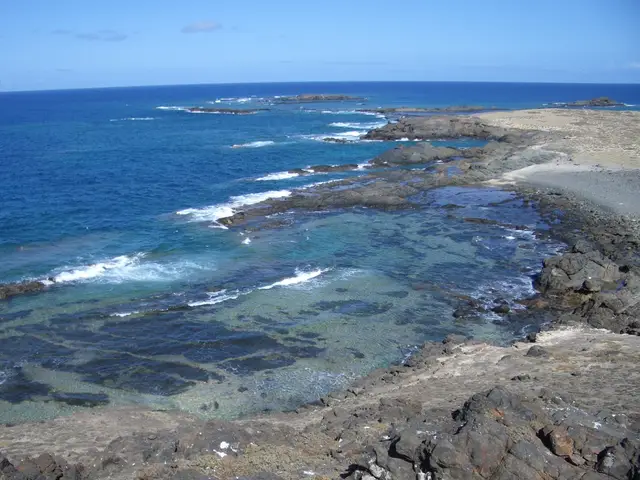
Photo: Coimbra68 · CC BY-SA 3.0 · Wikimedia Commons
Autonomous Region of Madeira (Selvagem Grande / Selvagem Pequena)
★★★★★crowding: None
Portugal's southernmost territory and one of Europe's oldest strict marine reserves (1971), harbouring the world's densest colony of Cory's shearwater (Calonectris diomedea).
Wild coastMarineSteppe and grassland
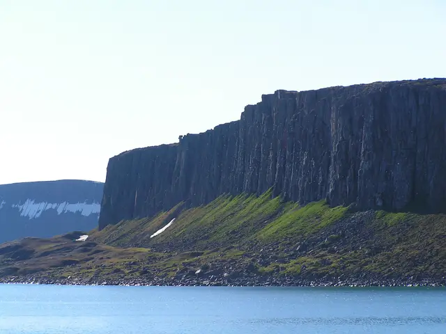
Photo: Hermanhi · CC BY-SA 3.0 · Wikimedia Commons
Svalbard Archipelago (Edgeøya and Barentsøya Islands)
★★★★★crowding: None
The vast desert tundra islands of Edgeøya and Barentsøya (21.800 km²), a premier denning sanctuary for polar bears and massive walrus haul-outs.
Steppe and grasslandWild coastMarineGlacial landscape
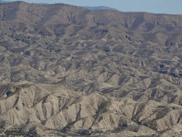
Photo: Fährtenleser · CC BY-SA 4.0 · Wikimedia Commons
Andalusia (Almería)
★★★★★crowding: Low
The only proper desert on the European continent, an extreme badlands landscape where torrential downpours have sculpted canyons and ravines, celebrated as the backdrop for legendary spaghetti westerns.
Steppe and grasslandGorge and canyon
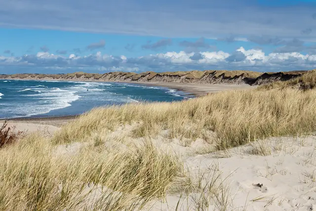
Photo: Kim Hansen · CC BY-SA 4.0 · Wikimedia Commons
North Jutland (Thisted / Hanstholm / Vorupør)
★★★★★crowding: Low
Denmark's first National Park (244 km²), a coastal wilderness of shifting dunes, littoral heathlands, and dune forests lashed by the North Sea.
Wild coastSteppe and grasslandWetland
Finnmark (Vadsø / Vardø / Berlevåg / Båtsfjord)
★★★★★crowding: Very low
Low-elevation Arctic tundra fronting the Barents Sea on Europe’s far northeastern edge, renowned for winter sea-duck roosts of Steller’s and king eiders.
Steppe and grasslandWild coastWetland
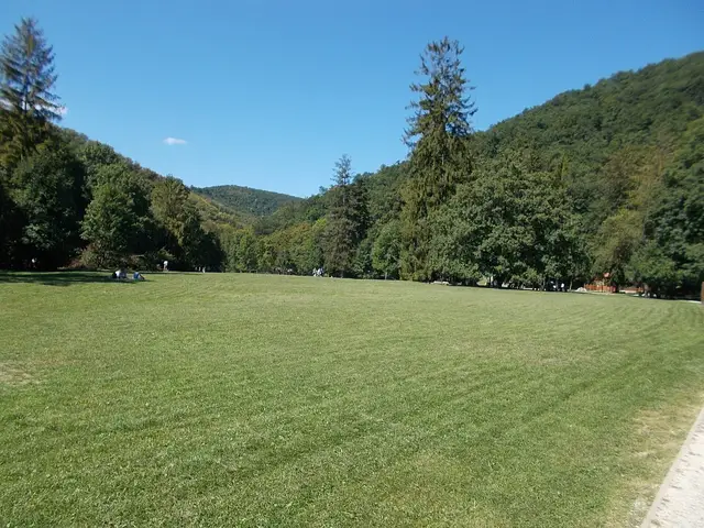
Photo: Globetrotter19 · CC BY-SA 3.0 · Wikimedia Commons
Heves / Borsod-Abaúj-Zemplén (Eger / Miskolc / Szilvásvárad)
★★★★★crowding: Low
Hungary's most extensive karst plateau, clothed in beech forests, featuring prehistoric caves and imperial eagles soaring along its cliff edges.
Old-growth forestKarst and cavesSteppe and grassland
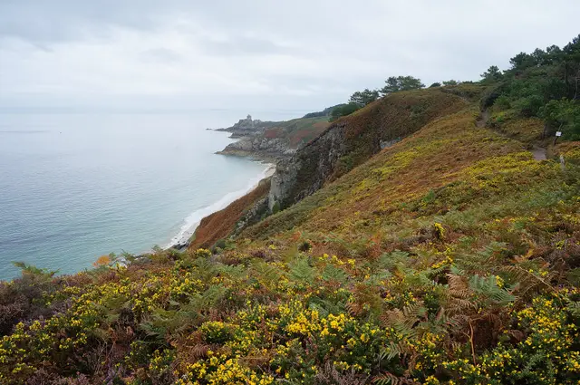
Photo: Pierre André Leclercq · CC BY-SA 4.0 · Wikimedia Commons
Brittany (Côtes-d'Armor — Plévenon)
★★★★★crowding: Moderate
Heather moorlands and pink sandstone cliffs rising over 70 metres sheltering vital seabird breeding colonies.
Wild coastSteppe and grassland
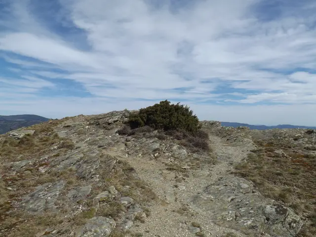
Photo: Fotelise22 · CC BY-SA 4.0 · Wikimedia Commons
Occitania (Lozère / Gard — Florac / Mont Lozère / Mont Aigoual)
★★★★★crowding: Low
Limestone plateaus (causses), granite uplands and chestnut valleys with reintroduced vultures: a pastoral landscape protected as an inhabited national park.
Old-growth forestSteppe and grasslandGorge and canyonKarst and caves
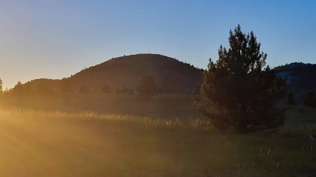
Photo: Ivan Vid · CC BY-SA 4.0 · Wikimedia Commons
Šibenik-Knin and Split-Dalmatia Counties (Knin / Sinj)
★★★★★crowding: Very low
The massif that gives its name to the entire Dinaric Alps and hosts Croatia’s highest peak (Dinara 1,831 m).
High mountainKarst and cavesSteppe and grassland
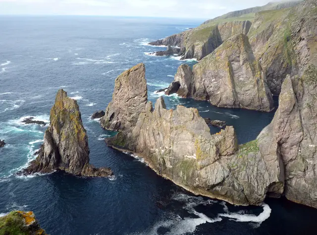
Photo: Julian Paren · CC BY-SA 2.0 · Wikimedia Commons
Scotland (Shetland Islands)
★★★★★crowding: Very low
The isolated island midway between Orkney and Shetland, historic mecca for migratory vagrant birds and traditional knitwear.
Wild coastMarineSteppe and grassland
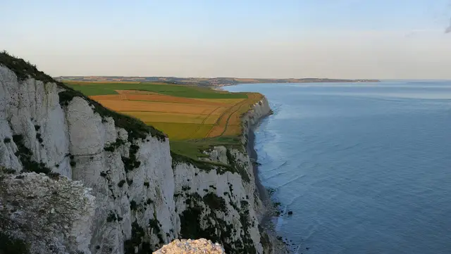
Photo: Jörg Braukmann · CC BY-SA 4.0 · Wikimedia Commons
Pas-de-Calais (Wissant / Audresselles / Escalles)
★★★★★crowding: Moderate
Monumental white chalk cliffs (134 m) looking directly across the Strait of Dover towards the English cliffs.
Wild coastSteppe and grassland
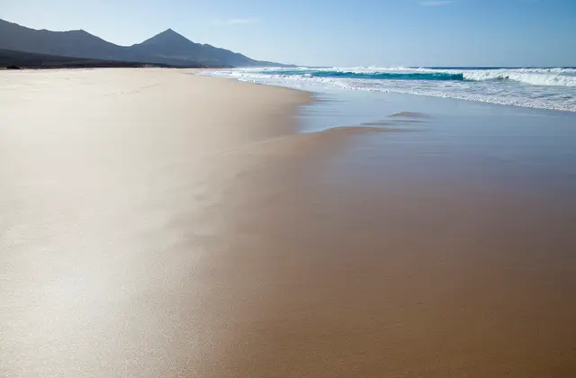
Photo: Tamara k · CC BY-SA 4.0 · Wikimedia Commons
Canary Islands (Fuerteventura / Pájara / Morro Jable / Cofete)
★★★★★crowding: Low
The desert peninsula of southern Fuerteventura where the Pico de la Zarza massif (807 m) plunges toward the 12 km wild volcanic beach of Cofete.
Wild coastSteppe and grasslandHigh mountain
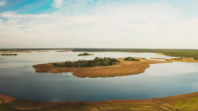
Photo: Esthonos · CC BY-SA 4.0 · Wikimedia Commons
Hiiu — Käina and Vaemla bays and Kassari Island
★★★★★crowding: No data
Brackish coastal bays and semi-natural alvar meadows with observation platforms at Orjaku.
WetlandWild coastSteppe and grassland
Bács-Kiskun (Bugac / Kecskemét)
★★★★★crowding: Low
The most renowned expanse of the Kiskunság puszta, preserving herds of Hungarian Grey cattle and traditional steppe horses.
Steppe and grassland
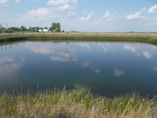
Photo: Globetrotter19 · CC BY-SA 3.0 · Wikimedia Commons
Bács-Kiskun (Kecskemét)
★★★★★crowding: Very low
Saline steppe mosaic between the Danube and Tisza rivers with continental shifting sand dunes and alkaline lakes.
Steppe and grasslandWetlandLake
Southeastern Great Hungarian Plain (Békés / Csongrád-Csanád)
★★★★★crowding: Very low
Mosaic of saline puszta grasslands, loess steppes, and riparian gallery forests harbouring Central Europe's premier great bustard stronghold.
Steppe and grasslandRiver corridor
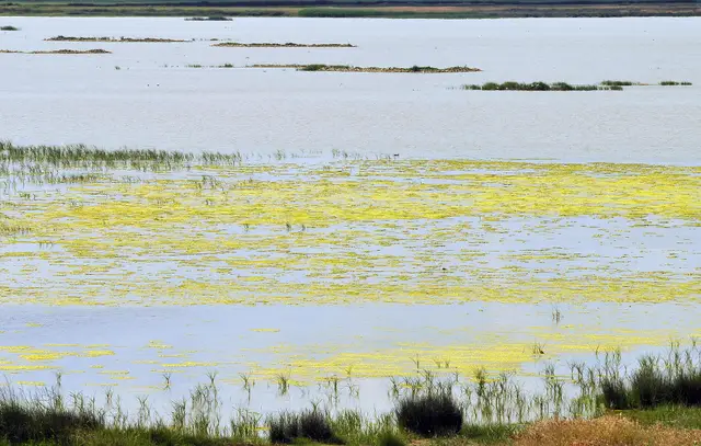
Photo: LBM1948 · CC BY-SA 4.0 · Wikimedia Commons
Castile and León (Zamora / Villafáfila / Villarrín de Campos)
★★★★★crowding: Low
Seasonal salt lagoons and dry cereal farmland in Tierra de Campos, with waterbirds and steppe birds.
WetlandSteppe and grassland
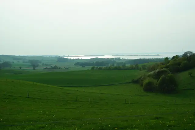
Photo: Sebastian Nils · CC BY-SA 3.0 · Wikimedia Commons
Central Jutland (Syddjurs / Ebeltoft)
★★★★★crowding: Low
Hummocky glacial moraines and dry ice-age heathland sloping down towards the fjords of the Djursland peninsula.
Steppe and grasslandWild coastOld-growth forest
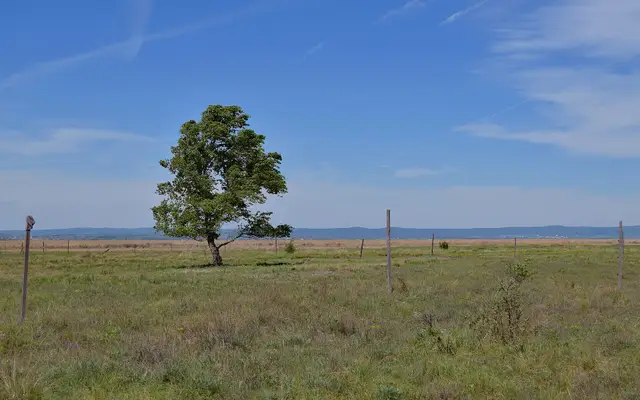
Photo: Haeferl · CC BY-SA 4.0 · Wikimedia Commons
Burgenland (Neusiedl am See / Illmitz)
★★★★★crowding: Low
Central Europe’s only endorheic steppe lake and its belt of saline shallow soda pans in Seewinkel.
LakeSteppe and grasslandWetland
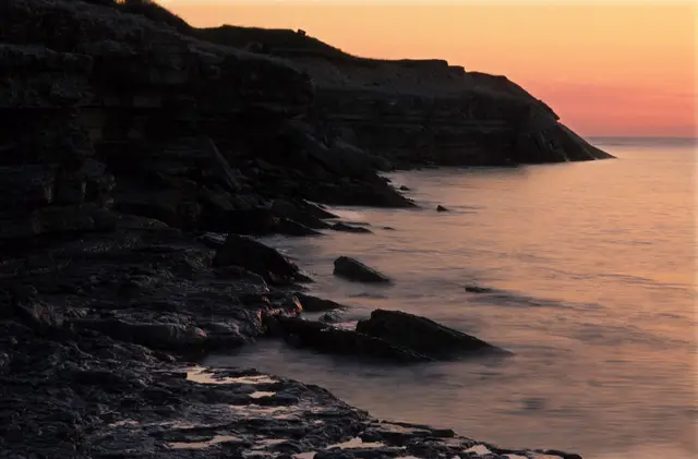
Photo: Tõnis Saadre · CC BY-SA 3.0 · Wikimedia Commons
Läänemaa — Lääne-Nigula, island of Osmussaar
★★★★★crowding: No data
Alvar grasslands and limestone coast shaped by the sea in a Baltic island reserve.
Wild coastSteppe and grasslandWetland
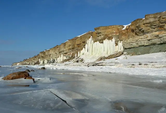
Photo: Ivar Leidus · CC BY-SA 3.0 · Wikimedia Commons
Harjumaa — Lääne-Harju, Pakri peninsula and islands
★★★★★crowding: No data
Sea cliffs and limestone formations in the reserve of the Pakri peninsula and islands.
Wild coastSteppe and grassland